An American businessman bought nearly a million hectares of Chilean Patagonia over fifteen years, restored the native forest, and then gave it all to Chile as a national park.
About Pumalín Park
Douglas Tompkins's land acquisition programme in Chilean Patagonia beginning in 1991 was driven by a specific conservationist philosophy: the most effective way to protect a landscape was to own it, manage it for recovery, and eventually transfer it to public ownership under conditions that guaranteed perpetual protection. The strategy required capital, political patience, and a willingness to absorb controversy. The Chilean government's opposition to foreign land ownership near international borders, combined with concerns about the political implications of a private American controlling a territory larger than some European countries, produced repeated legislative challenges to Tompkins's project. The challenges were resolved through negotiation, legal process, and the gradual accumulation of evidence that the restoration work was producing demonstrable ecological benefits. Tompkins's death in 2015 and the subsequent donation in 2018 resolved the political controversy definitively. The Chilean government, which had challenged the project for decades, accepted the donation and created a new national park category to administer it.
Pumalín Park covers 994,000 hectares of temperate rainforest, volcanic peaks, fjords, and glaciers in Chile's Palena and Los Lagos regions, making it one of the largest privately donated park territories in the world. The park was assembled over fifteen years by American philanthropist and conservationist Douglas Tompkins, who bought up degraded farming and logging land in northern Patagonia beginning in 1991, allowed it to recover, and donated the full holding to the Chilean state in 2018. The Corcovado volcano, at 2,300 metres, anchors the park's northern section; the fjords and channels of the Palena coast define its western boundary; the Andean border with Argentina closes it to the east.
The park is a conservation project rather than a tourism development, and the visitor infrastructure — trails, refugios, campsites — reflects that priority: minimal, well-maintained, and designed to allow access without concentrating impact.
Douglas Tompkins arrived in Chile in 1991 after selling his shares in The North Face and Esprit clothing brands and began buying land in the Palena region that was being logged or converted to salmon farming. The purchases were controversial — a foreign national acquiring hundreds of thousands of hectares of Chilean territory was politically sensitive, and the Pinochet-era land laws that governed the purchases were contested by successor governments. Tompkins navigated the controversies for two decades while continuing to acquire adjacent land parcels and restore native forest.
Tompkins died in a kayaking accident on Lake General Carrera in 2015. His wife Kristine McDivitt Tompkins continued the project and completed the donation to the Chilean state in 2018, creating the largest national park donation in history. Tompkins Conservation's other Chilean holding, the Patagonia Park further south, was donated simultaneously.
The Sendero los Alerces trail in the park's southern section passes through a grove of alerce trees — some over 3,000 years old, among the oldest living organisms in the southern hemisphere — whose diameter and height require the forest around them to be viewed as infrastructure rather than scenery. The trunks are close to two metres wide, the canopy 40 metres overhead, the base surrounded by ferns that grow from the accumulated organic matter of centuries.
The Chaitén sector of the park, near the town of Chaitén, offers access to the Volcán Chaitén caldera — the volcano erupted catastrophically in 2008, burying part of Chaitén town in ash and creating a new lava dome in the caldera that is still degassing. The trail to the caldera rim gives a view into an active volcanic landscape that is still resolving from its most recent major event.
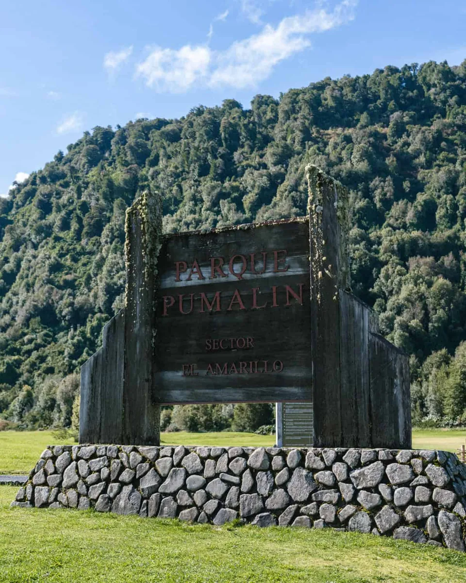
The park's main access points are by ferry from Puerto Montt to Chaitén (8–10 hours) or by the Carretera Austral, the southern highway that runs through the park's eastern edge from Chaitén southward. Domestic flights connect Chaitén to Puerto Montt. The park infrastructure is managed by Tompkins Conservation; the main visitor centre is in Chaitén.
The Experience
The alerce groves in the southern park are the primary encounter with Patagonian temperate rainforest at its oldest. The trees do not look ancient in the way European oaks look ancient — the growth is slow and the form is conical rather than gnarled — but the diameter of the mature trunks, measured in metres rather than centimetres, communicates age in physical terms that bypass aesthetic response. The Chaitén caldera trail, accessed from the trailhead 10 kilometres north of Chaitén town, climbs through recovering post-eruption forest and reaches the caldera rim in about three hours. The view into the active dome — still steaming, the rim of the 2008 eruption visible as a ring of grey ash — is a landscape in the process of geological change rather than a static feature.
Why It Matters
Pumalín Park represents the most significant private land donation to conservation in the history of South America, and the model Tompkins developed — private acquisition, ecological restoration, public donation — has influenced conservation strategy across Latin America and globally. The park's 994,000 hectares of recovering temperate rainforest constitute an ecological archive of what Patagonian vegetation looks like without human intervention.
Why Visit
Pumalín is not a convenient destination — the ferry or the Carretera Austral both require commitment, and the park's distances are Patagonian rather than European in scale. It earns that commitment with alerce groves, volcanic caldera landscapes, and the specific quality of a forest actively recovering from damage rather than simply being preserved. The absence of the tourism infrastructure found in national parks closer to Santiago is part of the experience.
✦ Photo Gallery
Best Season
🌤 December through March for the trails — the park receives 4,000–6,000 millimetres of annual rainfall and many trails are impassable outside the summer window. February is peak season; January offers better trail availability with slightly smaller crowds.
Quick Facts
Location
Chile
Type
attraction
Coordinates
-42.5844°, -72.4961°
Learn More
Wikipedia article available
Insider Tips
- 1
Book the Navimag or Naviera Austral ferry from Puerto Montt to Chaitén well in advance for summer travel — cabins sell out months ahead.
- 2
The alerce trail in the Reñihué sector requires a full day and a registered guide from the park visitor centre.
- 3
The Chaitén caldera trail is physically demanding and should not be attempted in poor visibility — the crater rim path is narrow and exposed.
- 4
Bring all supplies from Puerto Montt or Chaitén — the park's internal infrastructure does not include reliable resupply points.
- 5
The park's refugio booking system operates through the Tompkins Conservation website; confirm availability before traveling as capacity is limited.