“A 12th-century king built this inland sea on the principle that not a single drop of rain should reach the ocean without first serving his people.”
About Parakrama Samudra
King Parakramabahu the Great created or unified the Parakrama Samudra in the 12th century as part of an ambitious programme that made Polonnaruwa a centre of advanced water management. His declaration that no rain should be wasted captured the philosophy behind Sri Lanka's ancient irrigation engineering. The vast tank watered rice fields and sustained the kingdom, and much of it still functions today.
Parakrama Samudra
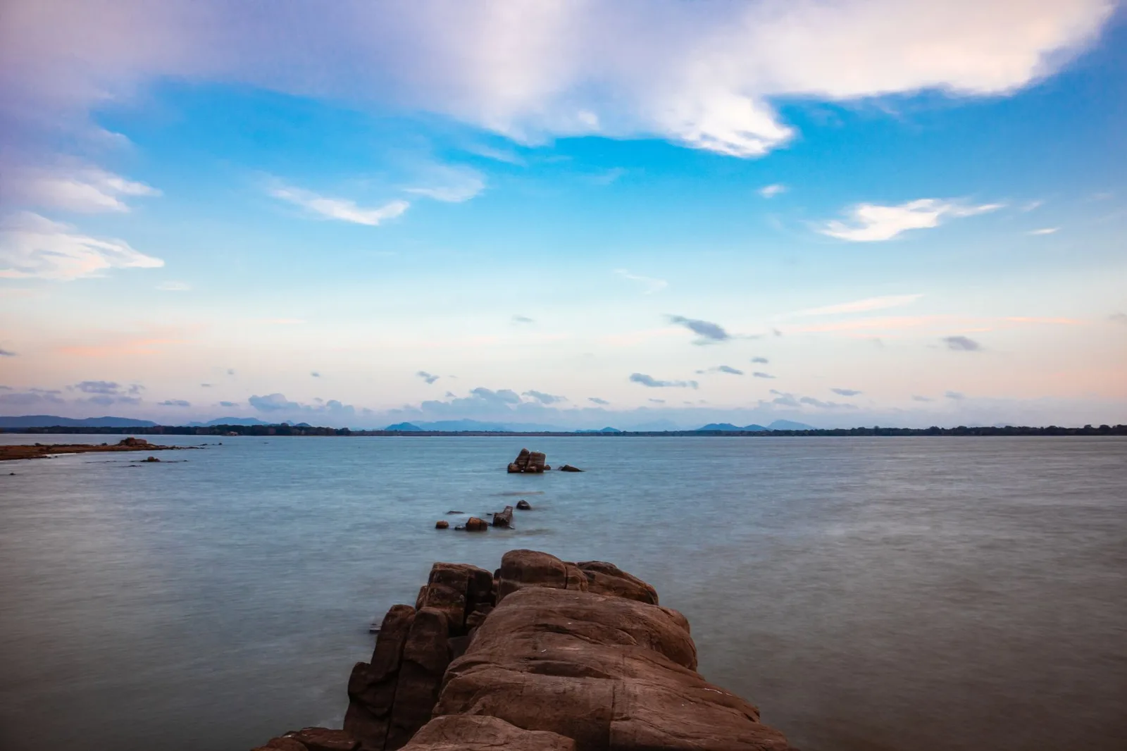
The Parakrama Samudra, or 'Sea of Parakrama', is a vast ancient reservoir on the edge of Polonnaruwa, so large it looks like an inland sea. Built in the 12th century, it is the masterwork of a king who transformed Sri Lanka into one of the great hydraulic civilisations of the medieval world, capturing and storing monsoon rains to irrigate the dry plains.
The Parakrama Samudra, or 'Sea of Parakrama', is a vast ancient reservoir on the edge of Polonnaruwa, so large it looks like an inland sea.
Not a Drop to the Sea
The reservoir is associated with King Parakramabahu the Great, to whom the chronicles attribute the famous principle that not a single drop of rain should be allowed to flow to the sea without first serving the people. Under his rule, Sri Lanka's ancient irrigation network reached its peak, with great tanks like this one storing water through the dry season. The Parakrama Samudra is in fact a linked system of reservoirs, an extraordinary feat of medieval engineering.
The Experience
You stand on the long bund, or embankment, looking out over a sheet of water so wide the far shore fades into haze, with fishermen, birdlife and distant hills. A statue traditionally identified as Parakramabahu gazes over the works nearby. Sunset over the water is a quiet highlight, and the scale of the reservoir gives a vivid sense of the ambition of the ancient engineers.
Why It Matters
The Parakrama Samudra is a monument to Sri Lanka's ancient hydraulic civilisation, among the most sophisticated water-management systems of the pre-modern world. Still in use after eight centuries, it embodies a philosophy of harnessing every drop of rain that shaped the island's prosperity and remains relevant today.
The Parakrama Samudra is a monument to Sri Lanka's ancient hydraulic civilisation, among the most sophisticated water-management systems of the pre-modern world.
Why Visit
A vast ancient reservoir that looks like an inland sea, the masterwork of Sri Lanka's water-engineering golden age, with beautiful sunsets beside Polonnaruwa.
✦ Insider Tips
- 1
Walk the long embankment at sunset for the best views.
- 2
It still functions as a working reservoir after 800 years.
- 3
Look for the ancient royal statue gazing over the works nearby.
- 4
It adjoins the Polonnaruwa ruins, easy to combine.