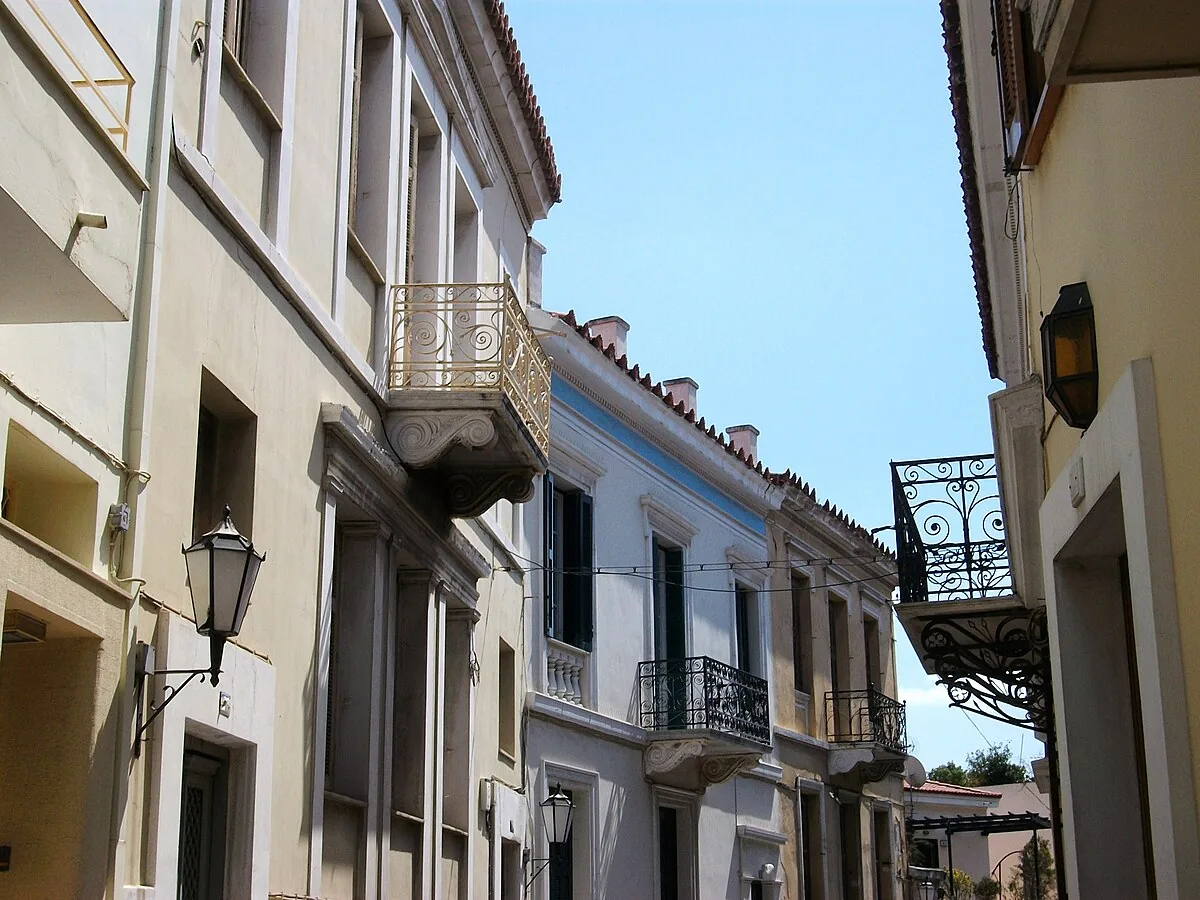
Plaka's winding lanes follow the street plan of Ottoman Athens — and the neighbourhood's current character, preserved and pedestrianised, is largely the product of a 1970s government programme that cleared nightclubs and workshops to make it suitable for tourism.
About Plaka
Athens was a small provincial town of fewer than ten thousand people when it was selected as the capital of the new Greek state in 1834. The planned neoclassical expansion that followed laid a grid over the flat areas of the city; Plaka, on the Acropolis slopes, kept its Ottoman street pattern by accident of topography. The Byzantine and Ottoman layers of the neighbourhood — churches, mosques, cisterns — accumulated over centuries of occupation when the city was politically marginal. The mid-twentieth century brought deterioration: nightlife, light industry, and overcrowding degraded the fabric. Conservation programmes beginning in the 1970s removed later accretions, relocated the entertainment businesses, and established pedestrianisation across most of the neighbourhood. The result is a curated version of what existed before — genuine in its street pattern and building stock, shaped by a deliberate act of heritage policy.
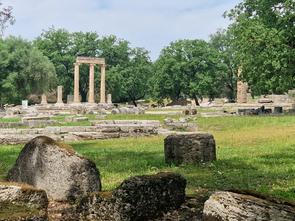
Overview Plaka sits on the northern and eastern slopes of the Acropolis hill in Athens, occupying the same irregular street pattern that the Ottoman and Byzantine town used for centuries. The lanes are narrow and non-orthogonal, carved around the contours of the hill rather than planned on a grid, and they connect a neighbourhood that contains Roman, Byzantine, Ottoman, and nineteenth-century neoclassical buildings within a few hundred metres of each other. Among all the areas of Athens that predate the modern capital, Plaka is the only one where pre-twentieth-century architecture survives in significant concentration.
The Story Behind It Athenian independence in 1821 and the subsequent selection of Athens as the capital of the new Greek state in 1834 triggered a rapid expansion southward and westward in a planned neoclassical grid. Plaka, too close to the Acropolis for easy demolition and too organically structured for a grid overlay, retained its Ottoman-era street plan while the rest of the city modernised around it. By the mid-twentieth century the neighbourhood had deteriorated significantly and filled with nightclubs and workshops. A conservation programme initiated in the 1970s cleared the later additions, relocated the nightlife industry, and established the pedestrianised character the neighbourhood now has. The Plaka of today is the product of a deliberate decision to curate the area for heritage tourism.
What You'll Experience The Tower of the Winds — a first-century BCE marble octagonal tower that functioned as sundial, water clock, and wind vane simultaneously — stands in the Roman Agora adjacent to the neighbourhood's main lanes. The Library of Hadrian occupies a walled precinct nearby. In the Anafiotika quarter, tucked immediately below the Acropolis wall, workers from the island of Anafis who came to build Athens in the nineteenth century constructed a Cycladic-island neighbourhood on the hillside: whitewashed walls, narrow alleys, potted plants on every surface, cats on every wall. In peak season the main tourist lane is dense with restaurants and souvenir shops; the Anafiotika quarter and the streets around the smaller Byzantine churches are quieter.
Getting There Plaka is in central Athens, directly below the Acropolis, within easy walking distance of Monastiraki (Line 1 and 3) and Syntagma (Lines 2 and 3) metro stations. Most of the neighbourhood is pedestrianised.
The Experience
Walking into the Anafiotika quarter from the main Plaka lanes is a transition that takes about thirty seconds and feels like crossing into a different city. The Cycladic-island micro-neighbourhood on the Acropolis slopes was built by Anafis islanders in the nineteenth century who simply reproduced the architecture they knew: whitewashed cube houses, narrow passages, flowering plants on every surface. In summer it is warm, quiet, and largely overlooked. The Tower of the Winds in the Roman Agora is one of the most functional ancient buildings to survive in the city — a combination sundial, water clock, and wind indicator from the first century BCE, still standing to full height, its relief wind-god figures still legible. Most visitors give it thirty seconds; it rewards more.
Why It Matters
Plaka is the one area of Athens that carries the physical memory of the city's pre-capital existence — the narrow street network from the Ottoman period, the Byzantine churches embedded in residential blocks, the Roman monuments scattered through the neighbourhood. Modern Athens erased most of its pre-modern fabric in the rush to look like a European capital. Plaka is what remained.
Why Visit
The Acropolis is the destination; Plaka is where you understand what Athens actually is. The Byzantine churches, the Roman tower, the Cycladic houses on the hillside, the way the street plan resists the logic of the modern city below — these things together make the neighbourhood worth more than a transit route to the Acropolis gate.
✦ Photo Gallery
Best Season
🌤 November through March offers Plaka without the summer tourist density and with the neighbourhood's residential character more visible. The Byzantine churches, open for morning service, are accessible without queues.
Quick Facts
Location
Greece
Type
attraction
Coordinates
37.9722°, 23.7306°
Learn More
Wikipedia article available
Insider Tips
- 1
The Anafiotika quarter is reached by taking any uphill lane from Plaka toward the Acropolis wall — there are no signs, which keeps most visitors on the main tourist street.
- 2
The Tower of the Winds in the Roman Agora is covered by the combined Acropolis ticket — one of the most underrated ancient buildings in Athens and usually uncrowded.
- 3
The Museum of Greek Folk Art on Kydathinaion Street has one of the finest collections of traditional Greek crafts and is rarely mentioned in standard itineraries.
- 4
Morning coffee in Plaka before 9am, before the tourist restaurants open, reveals the neighbourhood's actual residents and its actual pace.